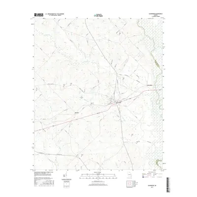
2017 Map of Glenwood
USGS Topo · Published 2017About this map
Glenwood serves as the central hub of this Wheeler County landscape, situated at the intersection of a established road network near the Oconee River. The settlement pattern follows the drainage of Ochwalkee Creek and its various tributaries, including Peterson Creek and Larry Creek. The map reveals a dense concentration of historical markers important to genealogists, with family-named landmarks such as Mason Cemetery and Jones Cemetery scattered throughout the rural periphery.
Find a feature on this map
80 named features on this map. Tap any name to fly to it.
Don’t see what you’re looking for? This feature index may not catch every label — zoom into the map to look around manually.
Map Details
Editions of this 2017 Glenwood Map
This is the sole edition of this map. No revisions or reprints were ever made.
Other maps of this area

1957 · Macon
USGS Topo · 1:250,000

1958 · Macon
USGS Topo · 1:250,000

1964 · Macon
USGS Topo · 1:250,000

1970 · Scotland
USGS Topo · 1:24,000

1970 · Glenwood
USGS Topo · 1:24,000

1970 · Alamo
USGS Topo · 1:24,000

1970 · Mount Vernon
USGS Topo · 1:24,000

1970 · Uvalda
USGS Topo · 1:24,000

1970 · Jordan
USGS Topo · 1:24,000

1971 · Soperton South
USGS Topo · 1:24,000