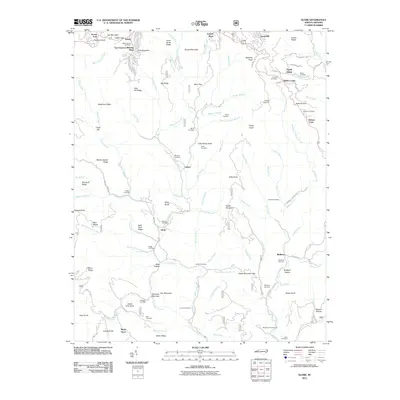
2011 Map of Globe
USGS Topo · Published 2011About this map
The Johns River flows through a landscape defined by its complex ridge systems and scattered family settlements in this 2011 survey of the Watauga County area. High elevations like Gay Mountain and Sauls Camp Ridge overlook the valley floor where the community of Globe and the Johns River Camp are established. The map provides a remarkable record of family genealogy through its numerous burial grounds, including the Bolick Cemetery, Herman Cemetery, and McLean Cemetery.
Find a feature on this map
118 named features on this map. Tap any name to fly to it.
Don’t see what you’re looking for? This feature index may not catch every label — zoom into the map to look around manually.
Map Details
Editions of this 2011 Globe Map
This is the sole edition of this map. No revisions or reprints were ever made.
Other maps of this area

1893 · Cranberry
USGS Topo · 1:125,000

1895 · Cranberry
USGS Topo · 1:125,000

1899 · Cranberry
USGS Topo · 1:125,000

1902 · Cranberry
USGS Topo · 1:125,000

1905 · Morganton
USGS Topo · 1:125,000

1934 · Valle Crucis
USGS Topo · 1:24,000

1934 · Boone
USGS Topo · 1:24,000

1936 · Blowing Rock
USGS Topo · 1:48,000

1942 · Blowing Rock
USGS Topo · 1:62,500

1944 · Linville
USGS Topo · 1:62,500