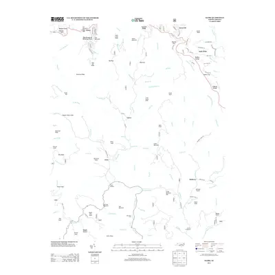
2013 Map of Globe
USGS Topo · Published 2013About this map
The Johns River headwaters define this Blue Ridge landscape, where steep ridges and deep hollows dictated the placement of small Appalachian settlements. Early 21st-century residential developments like The Forest at Blowing Rock and Laurel Park appear near the northern edge, contrasting with the more dispersed rural character of Globe, Upton, and Mulberry further south. The terrain is marked by numerous family-named peaks and ridges, including Tate Mountain, Staircase Mountain, and Billys Knob, alongside descriptive locations like Potts Hollow and Benson Hollow.
Find a feature on this map
131 named features on this map. Tap any name to fly to it.
Don’t see what you’re looking for? This feature index may not catch every label — zoom into the map to look around manually.
Map Details
Editions of this 2013 Globe Map
This is the sole edition of this map. No revisions or reprints were ever made.
Other maps of this area

1893 · Cranberry
USGS Topo · 1:125,000

1895 · Cranberry
USGS Topo · 1:125,000

1899 · Cranberry
USGS Topo · 1:125,000

1902 · Cranberry
USGS Topo · 1:125,000

1905 · Morganton
USGS Topo · 1:125,000

1934 · Valle Crucis
USGS Topo · 1:24,000

1934 · Boone
USGS Topo · 1:24,000

1936 · Blowing Rock
USGS Topo · 1:48,000

1942 · Blowing Rock
USGS Topo · 1:62,500

1944 · Linville
USGS Topo · 1:62,500