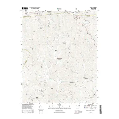
2016 Map of Globe
USGS Topo · Published 2016About this map
Pisgah National Forest dominates the terrain of this 2016 survey, where the dramatic slopes of the Blue Ridge fall away into the deep valleys of the Johns River. This section of western North Carolina, situated along the Watauga and Caldwell County line, is defined by an intricate network of ridgelines like Backbone Ridge and Pack Hill Ridge. The landscape is dotted with small mountain settlements including Globe, Mulberry, and Upton, which are connected by winding forest roads and the iconic Blue Ridge Parkway near the northern border.
Find a feature on this map
129 named features on this map. Tap any name to fly to it.
Don’t see what you’re looking for? This feature index may not catch every label — zoom into the map to look around manually.
Map Details
Editions of this 2016 Globe Map
This is the sole edition of this map. No revisions or reprints were ever made.
Other maps of this area

1893 · Cranberry
USGS Topo · 1:125,000

1895 · Cranberry
USGS Topo · 1:125,000

1899 · Cranberry
USGS Topo · 1:125,000

1902 · Cranberry
USGS Topo · 1:125,000

1905 · Morganton
USGS Topo · 1:125,000

1934 · Valle Crucis
USGS Topo · 1:24,000

1934 · Boone
USGS Topo · 1:24,000

1936 · Blowing Rock
USGS Topo · 1:48,000

1942 · Blowing Rock
USGS Topo · 1:62,500

1944 · Linville
USGS Topo · 1:62,500