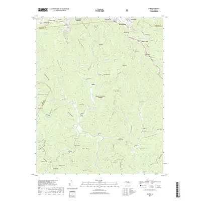
2019 Map of Globe
USGS Topo · Published 2019About this map
Blowing Rock sits at the northern edge of this high-elevation landscape where the Watauga Co Caldwell Co line traverses the steep terrain of the Blue Ridge. The area is defined by the deep valleys of the Johns River and Boone Fork, surrounding the community of Globe and the historic Pisgah National Forest. This survey captures the transition from the developed ridges near the Blue Ridge Parkway to the remote valley settlements like Upton and Maple Grove. A high density of family-named burial grounds, including the Herman Cem, Harrison Cem, and Edmisten Cem, points to a long history of generational homesteading. Notable topographical landmarks such as Backbone Ridge and Staircase Mtn dominate the vertical relief, while the Watauga Turnpike traces the rugged western boundary.
Find a feature on this map
113 named features on this map. Tap any name to fly to it.
Don’t see what you’re looking for? This feature index may not catch every label — zoom into the map to look around manually.
Map Details
Editions of this 2019 Globe Map
This is the sole edition of this map. No revisions or reprints were ever made.
Other maps of this area

1893 · Cranberry
USGS Topo · 1:125,000

1895 · Cranberry
USGS Topo · 1:125,000

1899 · Cranberry
USGS Topo · 1:125,000

1902 · Cranberry
USGS Topo · 1:125,000

1905 · Morganton
USGS Topo · 1:125,000

1934 · Valle Crucis
USGS Topo · 1:24,000

1934 · Boone
USGS Topo · 1:24,000

1936 · Blowing Rock
USGS Topo · 1:48,000

1942 · Blowing Rock
USGS Topo · 1:62,500

1944 · Linville
USGS Topo · 1:62,500