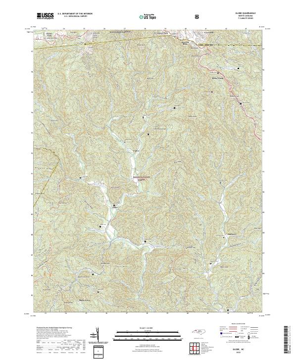
2022 Map of Globe
USGS Topo · Published 2022About this map
The Johns River headwaters carve through the high elevations of the Pisgah National Forest in this survey of the North Carolina high country. The landscape is defined by its verticality, where the Tennessee Valley Divide and the Blue Ridge meet, directing water toward both the Atlantic and the Gulf. Small communities like Globe and Mulberry are situated in the lower basins, surrounded by a high density of family burial grounds such as the Bolick Family Cem and Edmisten Cem, which are vital for genealogical research in this region of Caldwell County. The northern edge of the map is dominated by the tourism and transport corridor of the Blue Ridge Parkway near Blowing Rock, showing the contrast between the modern parkway system and the old forest service roads and trails like the Thunderhead Trl that wind through the interior ridges.
Find a feature on this map
104 named features on this map. Tap any name to fly to it.
Don’t see what you’re looking for? This feature index may not catch every label — zoom into the map to look around manually.
Map Details
Editions of this 2022 Globe Map
This is the sole edition of this map. No revisions or reprints were ever made.
Other maps of this area

1893 · Cranberry
USGS Topo · 1:125,000

1895 · Cranberry
USGS Topo · 1:125,000

1899 · Cranberry
USGS Topo · 1:125,000

1902 · Cranberry
USGS Topo · 1:125,000

1905 · Morganton
USGS Topo · 1:125,000

1934 · Valle Crucis
USGS Topo · 1:24,000

1934 · Boone
USGS Topo · 1:24,000

1936 · Blowing Rock
USGS Topo · 1:48,000

1942 · Blowing Rock
USGS Topo · 1:62,500

1944 · Linville
USGS Topo · 1:62,500