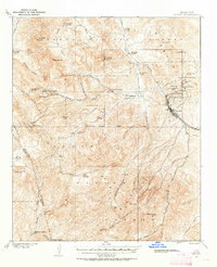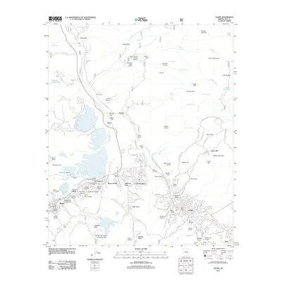
1945 Map of Globe
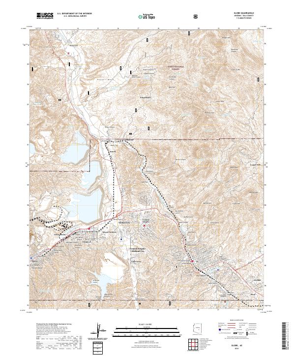
USGS Topo · Published 1968About this map
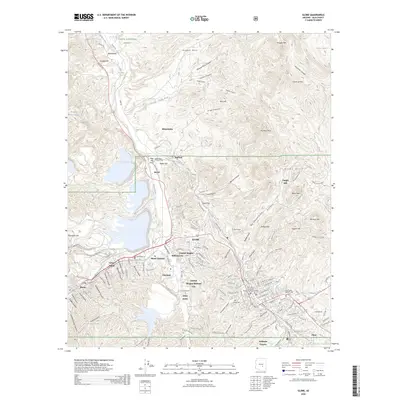
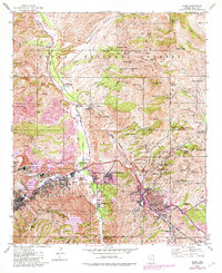
Miami and Globe dominate this copper-rich landscape at the edge of the Tonto National Forest, where heavy industry and ancient history meet. The map reveals the immense footprint of 1940s mineral extraction, from the International Smelter and massive Solitude Tailings Pond to a high concentration of vertical infrastructure like the Doughboy Shaft and Irene Tunnels. This industrial grid is uniquely juxtaposed with the Besh-Ba-Gowah Pueblo Ruins south of town, anchoring the modern mining district to its prehistoric roots. Residential pockets like Claypool, Central Heights, and Midland City line the corridor between the two main hubs, while the northern terrain transitions into the rugged drainage of Pinal Creek and Nugget Mesa, dotted with family holdings such as Bixby Ranch and Jones Ranch.
Find a feature on this map
99 named features on this map. Tap any name to fly to it.
Don’t see what you’re looking for? This feature index may not catch every label — zoom into the map to look around manually.
Map Details
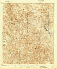
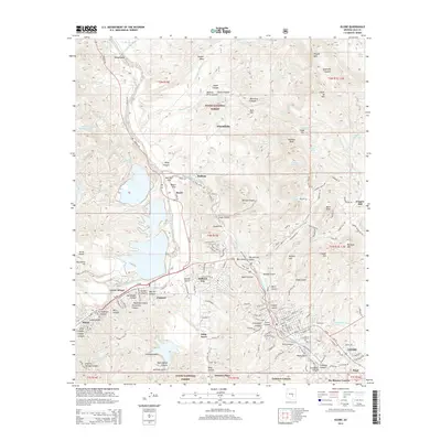
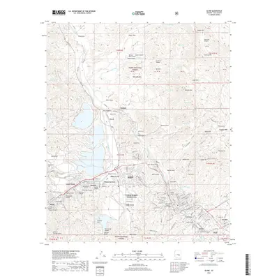
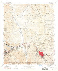
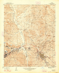
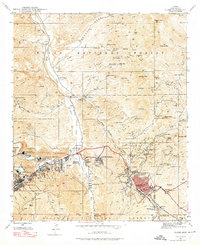
Editions of this 1945 Globe Map
4 editions found
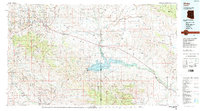
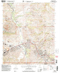
Historical Maps of Globe Through Time
10 maps found