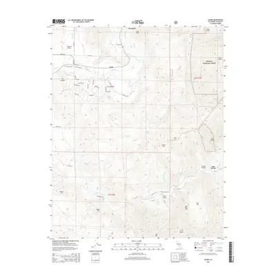
2015 Map of Globe
USGS Topo · Published 2015About this map
Springville stands at the transition from the valley floor into the steep foothills of the Sequoia National Forest in this 2015 survey of Tulare County. The landscape is defined by the drainage of the Tule River and its southern branch, which carve deep relief through features like Deep Canyon and Ward Canyon. Modern residential development is evident in the cluster of themed roads near Big Campbell, such as Mustang Dr and Palomino Dr, contrasting with the more traditional ranch and forest access provided by Reservation Rd and Indian Service Rd. Topographical landmarks like Bonsall Hill, Oak Flat Peak, and Oat Mtn rise above the drainage basins, while smaller pockets of history persist at Soda Springs and Joaquin Flat. The map documents a blend of rural settlement and protected federal timberland along the western Sierra Nevada flank.
Find a feature on this map
53 named features on this map. Tap any name to fly to it.
Don’t see what you’re looking for? This feature index may not catch every label — zoom into the map to look around manually.
Map Details
Editions of this 2015 Globe Map
This is the sole edition of this map. No revisions or reprints were ever made.
Other maps of this area
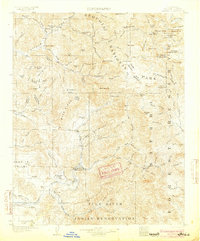
1904 · Kaweah
USGS Topo · 1:125,000
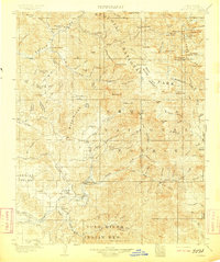
1909 · Kaweah
USGS Topo · 1:125,000
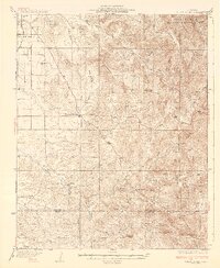
1936 · White River
USGS Topo · 1:62,500
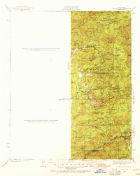
1936 · Tobias Peak
USGS Topo · 1:125,000
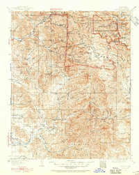
1937 · Kaweah
USGS Topo · 1:125,000
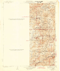
1943 · Tobias Peak
USGS Topo · 1:125,000
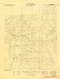
1945 · Tobias Peak
USGS Topo · 1:62,500
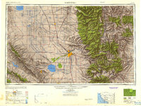
1948 · Bakersfield
USGS Topo · 1:250,000

1948 · Fresno
USGS Topo · 1:250,000
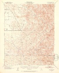
1952 · White River
USGS Topo · 1:62,500