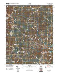
2010 Map of Gloucester
USGS Topo · Published 2010About this map
Gloucester Courthouse and the surrounding coastal plain of the Middle Peninsula appear here in a period of established residential growth and preserved local heritage. The landscape is defined by the intricate network of swampy lowlands and creeks feeding into the Chesapeake watershed, such as Beaverdam Swamp and Fox Mill Run. Historic crossroads and small communities like Bellamy, Sassafras, and Ark are connected by a dense grid of local roads, including Farys Mill Rd and Diligence Ln.
Find a feature on this map
84 named features on this map. Tap any name to fly to it.
Don’t see what you’re looking for? This feature index may not catch every label — zoom into the map to look around manually.
Map Details
Editions of this 2010 Gloucester Map
This is the sole edition of this map. No revisions or reprints were ever made.
Other maps of this area

1906 · Williamsburg
USGS Topo · 1:62,500

1916 · Kilmarnock
USGS Topo · 1:48,000

1916 · Mathews
USGS Topo · 1:62,500

1917 · Urbanna
USGS Topo · 1:62,500

1917 · Kilmarnock
USGS Topo · 1:62,500

1917 · Mathews
USGS Topo · 1:62,500

1942 · Kilmarnock
USGS Topo · 1:62,500

1943 · Richmond
USGS Topo · 1:250,000

1948 · Ware Neck
USGS Topo · 1:24,000

1948 · Achilles
USGS Topo · 1:24,000