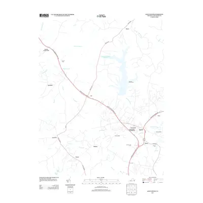
2013 Map of Gloucester
USGS Topo · Published 2013About this map
Gloucester Courthouse serves as the focal point of this coastal Virginia landscape, where modern suburban development meets a historical network of swamplands and creeks. The George Washington Memorial Hwy acts as the primary corridor through the region, connecting small community clusters like Woods Crossroads, Ark, and Bellamy. The central geography is dominated by the sprawling Beaverdam Swamp Reservoir, a significant water body created within the Beaverdam Swamp drainage basin, featuring the Beaverdam Park Boat Ramp for local access.
Find a feature on this map
41 named features on this map. Tap any name to fly to it.
Don’t see what you’re looking for? This feature index may not catch every label — zoom into the map to look around manually.
Map Details
Editions of this 2013 Gloucester Map
This is the sole edition of this map. No revisions or reprints were ever made.
Other maps of this area

1906 · Williamsburg
USGS Topo · 1:62,500

1916 · Kilmarnock
USGS Topo · 1:48,000

1916 · Mathews
USGS Topo · 1:62,500

1917 · Urbanna
USGS Topo · 1:62,500

1917 · Kilmarnock
USGS Topo · 1:62,500

1917 · Mathews
USGS Topo · 1:62,500

1942 · Kilmarnock
USGS Topo · 1:62,500

1943 · Richmond
USGS Topo · 1:250,000

1948 · Ware Neck
USGS Topo · 1:24,000

1948 · Achilles
USGS Topo · 1:24,000