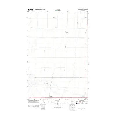
2013 Map of Glyndon North
USGS Topo · Published 2013About this map
Glyndon anchors the southern edge of this Clay County landscape, where the Buffalo River meanders through a strictly organized grid of agricultural section lines and drainage systems. This 2013 survey documents a region defined by precise water management, notably the County Ditch Number Thirty Eight, which illustrates the extensive engineering required to support the local farming economy. Near the river's bend sits the Riverside Cem, a key landmark for genealogical research in this rural corridor. Northward, the small settlement of Averill is situated along the north-south axis of 120 St N, while the Buffalo River Speedway on the southeastern corner reflects more modern recreational development. The map details the transition from town lots near the Po and State St NW to the broad, open sections that characterize this portion of the Red River Valley.
Find a feature on this map
19 named features on this map. Tap any name to fly to it.
Don’t see what you’re looking for? This feature index may not catch every label — zoom into the map to look around manually.
Map Details
Editions of this 2013 Glyndon North Map
This is the sole edition of this map. No revisions or reprints were ever made.
Other maps of this area
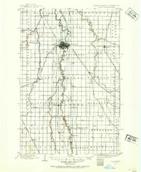
1895 · Fargo
USGS Topo · 1:125,000
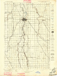
1897 · Fargo
USGS Topo · 1:125,000
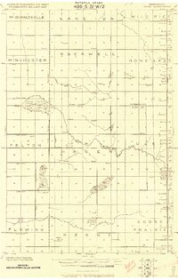
1918 · Ulen
USGS Topo · 1:62,500
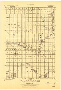
1919 · Hawley
USGS Topo · 1:62,500
1952 · Grand Forks
USGS Topo · 1:250,000
1953 · Fargo
USGS Topo · 1:250,000
1956 · Fargo
USGS Topo · 1:250,000
1956 · Grand Forks
USGS Topo · 1:250,000
1964 · Sabin
USGS Topo · 1:24,000
1964 · Dilworth
USGS Topo · 1:24,000