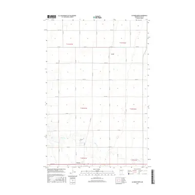
2016 Map of Glyndon North
USGS Topo · Published 2016About this map
The Buffalo River meanders across this Clay County landscape, marking the southern reaches of the map before it continues its course through the Red River Valley. The settlement of Glyndon sits at the southern margin, serving as a hub for the grid of section roads that define the region's agricultural character. Further north, the smaller community of Averill appears along the intersection of Co Hwy 19 and 90th Ave N, illustrating the dispersed settlement patterns typical of this prairie region. Near the river's bend, Riverside Cem provides a specific point of interest for genealogists tracing local families. The presence of engineered waterways like County Ditch Number Thirty-Eight underscores the long-standing efforts to manage the flat terrain for productive farming, a defining feature of the local economy and land use.
Find a feature on this map
35 named features on this map. Tap any name to fly to it.
Don’t see what you’re looking for? This feature index may not catch every label — zoom into the map to look around manually.
Map Details
Editions of this 2016 Glyndon North Map
This is the sole edition of this map. No revisions or reprints were ever made.
Other maps of this area

1895 · Fargo
USGS Topo · 1:125,000

1897 · Fargo
USGS Topo · 1:125,000

1918 · Ulen
USGS Topo · 1:62,500

1919 · Hawley
USGS Topo · 1:62,500

1952 · Grand Forks
USGS Topo · 1:250,000

1953 · Fargo
USGS Topo · 1:250,000

1956 · Fargo
USGS Topo · 1:250,000

1956 · Grand Forks
USGS Topo · 1:250,000

1964 · Sabin
USGS Topo · 1:24,000

1964 · Dilworth
USGS Topo · 1:24,000