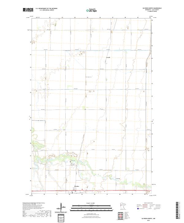
2022 Map of Glyndon North
USGS Topo · Published 2022About this map
Glyndon anchors the southern edge of this West Central Minnesota landscape, situated just south of the winding Buffalo River. The terrain is defined by a strictly organized section-line road grid that supports the region's agricultural character, with long stretches of 100th St N and 140th St N bisecting the prairie. In the northern reaches, the small settlement of Averill sits near the headwaters of County Ditch Number Thirty-Eight, illustrating the extensive water management systems required for local farming. Genealogy interests are centered around Riverside Cem, located on a bend where the South Branch Buffalo River joins the main waterway. This 2022 survey documents the enduring spatial patterns of Clay County, where the transition from riparian woods to open fields remains the primary geographic feature.
Find a feature on this map
33 named features on this map. Tap any name to fly to it.
Don’t see what you’re looking for? This feature index may not catch every label — zoom into the map to look around manually.
Map Details
Editions of this 2022 Glyndon North Map
This is the sole edition of this map. No revisions or reprints were ever made.
Other maps of this area

1895 · Fargo
USGS Topo · 1:125,000

1897 · Fargo
USGS Topo · 1:125,000

1918 · Ulen
USGS Topo · 1:62,500

1919 · Hawley
USGS Topo · 1:62,500

1952 · Grand Forks
USGS Topo · 1:250,000

1953 · Fargo
USGS Topo · 1:250,000

1956 · Fargo
USGS Topo · 1:250,000

1956 · Grand Forks
USGS Topo · 1:250,000

1964 · Sabin
USGS Topo · 1:24,000

1964 · Dilworth
USGS Topo · 1:24,000