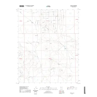
2020 Map of Goat Hill
USGS Topo · Published 2020About this map
Rio Pescado winds through this high-desert landscape in Cibola County, carving a path through a region defined by prominent volcanic and sedimentary formations. The area is characterized by significant topographic rises, including the namesake Goat Hill, as well as Black Mtn and the distinctively named Pig-a-ti-ana. These elevations are interspersed with seasonal drainage channels such as White Rock Draw, Carrizozo Draw, and White Horse Draw, which reveal the hydrologic patterns of the Eastern Navajo Agency.
Find a feature on this map
68 named features on this map. Tap any name to fly to it.
Don’t see what you’re looking for? This feature index may not catch every label — zoom into the map to look around manually.
Map Details
Editions of this 2020 Goat Hill Map
This is the sole edition of this map. No revisions or reprints were ever made.
Other maps of this area

1886 · Wingate
USGS Topo · 1:250,000

1892 · Wingate
USGS Topo · 1:250,000

1952 · Valle Largo
USGS Topo · 1:24,000

1954 · Saint Johns
USGS Topo · 1:250,000

1954 · Gallup
USGS Topo · 1:250,000

1957 · Saint Johns
USGS Topo · 1:250,000

1958 · Gallup
USGS Topo · 1:250,000

1958 · Saint Johns
USGS Topo · 1:250,000

1959 · Gallup
USGS Topo · 1:250,000

1962 · Gallup
USGS Topo · 1:250,000