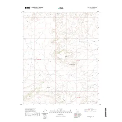
2023 Map of Goat Mountain
USGS Topo · Published 2023About this map
The high-desert terrain of McKinley County dominates this landscape, defined by a series of prominent mesas and volcanic landforms. Goat Mountain and Little Haystack Mountain rise above the surrounding plateaus, while the expansive Mesa Redonda and Mesa Montanosa characterize the regional geology. Drainage patterns are carved by the Arroyo del Puerto and Martin Draw, which wind through the complex topography of Rincon Canyon.
Find a feature on this map
20 named features on this map. Tap any name to fly to it.
Don’t see what you’re looking for? This feature index may not catch every label — zoom into the map to look around manually.
Map Details
Editions of this 2023 Goat Mountain Map
This is the sole edition of this map. No revisions or reprints were ever made.
Other maps of this area

1883 · Mt. Taylor
USGS Topo · 1:250,000

1886 · Wingate
USGS Topo · 1:250,000

1886 · Mt. Taylor
USGS Topo · 1:250,000

1892 · Wingate
USGS Topo · 1:250,000

1892 · Mt. Taylor
USGS Topo · 1:250,000

1899 · Mt. Taylor
USGS Topo · 1:250,000

1954 · Gallup
USGS Topo · 1:250,000

1957 · Ambrosia Lake
USGS Topo · 1:24,000

1957 · Dos Lomas
USGS Topo · 1:24,000

1957 · Bluewater
USGS Topo · 1:24,000