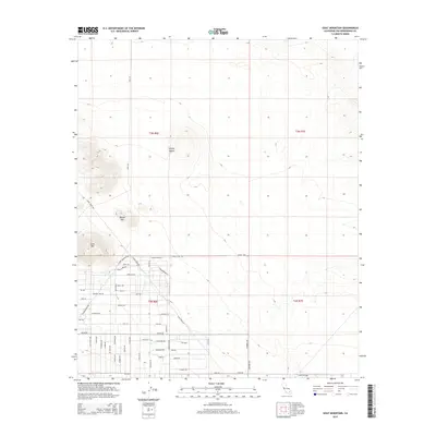
2015 Map of Goat Mountain
USGS Topo · Published 2015About this map
Mojave Desert terrain dominates this 2015 survey of Homestead Valley, where the arid landscape is punctuated by prominent elevations like Goat Mtn and Reche Mtn. The map reveals a dense grid of residential and access roads beginning to fill the lower elevations, particularly south of Joshua Tree Road. This development pattern reflects the modern expansion of high-desert communities, as localized names like Rocky Acres Road and Stearman Road denote specific subdivisions or land-use pockets.
Find a feature on this map
56 named features on this map. Tap any name to fly to it.
Don’t see what you’re looking for? This feature index may not catch every label — zoom into the map to look around manually.
Map Details
Editions of this 2015 Goat Mountain Map
This is the sole edition of this map. No revisions or reprints were ever made.
Other maps of this area
1953 · San Bernardino
USGS Topo · 1:250,000
1954 · Hidalgo Mtn
USGS Topo · 1:24,000
1954 · Emerson Lake
USGS Topo · 1:24,000
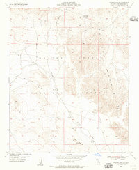
1955 · Deadman Lake NW
USGS Topo · 1:24,000
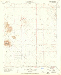
1955 · Goat Mountain
USGS Topo · 1:24,000
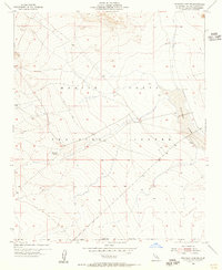
1955 · Deadman Lake SW
USGS Topo · 1:24,000
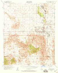
1955 · Twentynine Palms
USGS Topo · 1:62,500
1955 · Emerson Lake
USGS Topo · 1:62,500
1955 · Deadman Lake
USGS Topo · 1:62,500
1955 · Joshua Tree
USGS Topo · 1:62,500