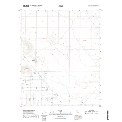
2018 Map of Goat Mountain
USGS Topo · Published 2018About this map
Goat Mtn and Reche Mtn rise above the high desert floor in this 2018 survey of the Mojave Desert fringe. The landscape transitions from open desert in the north to an increasingly structured grid of rural roads in the south, reflecting the modern residential layout of Homestead Valley. Major thoroughfares like Giant Rock Rd and Reche Rd provide the framework for a network of named lanes and ways, including Joshua Tree Ln and Rocky Acres Rd. The map illustrates a contemporary pattern of desert living, where individual homesteads are connected by a dense web of local streets such as Stearman Rd and Wassail Rd, showing how this arid region has been organized for habitation into the twenty-first century.
Find a feature on this map
69 named features on this map. Tap any name to fly to it.
Don’t see what you’re looking for? This feature index may not catch every label — zoom into the map to look around manually.
Map Details
Editions of this 2018 Goat Mountain Map
This is the sole edition of this map. No revisions or reprints were ever made.
Other maps of this area
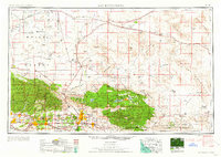
1953 · San Bernardino
USGS Topo · 1:250,000
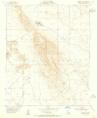
1954 · Hidalgo Mtn
USGS Topo · 1:24,000
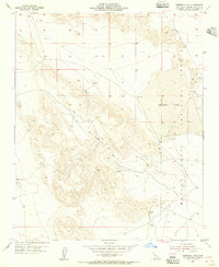
1954 · Emerson Lake
USGS Topo · 1:24,000
1955 · Deadman Lake NW
USGS Topo · 1:24,000
1955 · Goat Mountain
USGS Topo · 1:24,000
1955 · Deadman Lake SW
USGS Topo · 1:24,000
1955 · Twentynine Palms
USGS Topo · 1:62,500
1955 · Emerson Lake
USGS Topo · 1:62,500
1955 · Deadman Lake
USGS Topo · 1:62,500
1955 · Joshua Tree
USGS Topo · 1:62,500