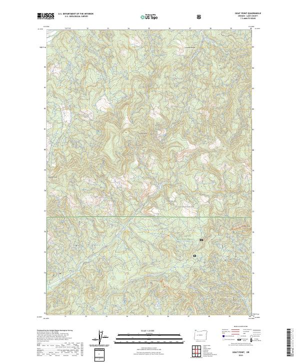
2023 Map of Goat Point
USGS Topo · Published 2023About this map
Goat Point and Walker Point stand as prominent topographic markers in this high-altitude section of the Cascade Range within Lane County. The landscape is defined by the complex drainage systems of the Willamette National Forest, where numerous waterways such as Little Fall Creek and North Fork Fall Creek carve through the terrain. Evidence of the region's managed wilderness and recreational infrastructure is present through the network of access routes, including Marten Ridge Rd and the Natl Forest Develop Road 440 Rd. For those tracing the geography of the Oregon backcountry, the map details established pathways like the Fall Creek Trl and Jones Trl, providing a precise record of the trail systems and forest boundaries as they existed in the early 21st century.
Find a feature on this map
25 named features on this map. Tap any name to fly to it.
Don’t see what you’re looking for? This feature index may not catch every label — zoom into the map to look around manually.
Map Details
Editions of this 2023 Goat Point Map
This is the sole edition of this map. No revisions or reprints were ever made.
Other maps of this area

1925 · Waldo Lake
USGS Topo · 1:125,000

1934 · Mc Kenzie Bridge
USGS Topo · 1:96,000

1935 · Lowell
USGS Topo · 1:96,000

1940 · Mc Kenzie Bridge
USGS Topo · 1:125,000

1942 · Lowell
USGS Topo · 1:125,000

1951 · Leaburg
USGS Topo · 1:62,500

1953 · Salem
USGS Topo · 1:250,000

1954 · Salem
USGS Topo · 1:250,000

1955 · Hardesty Mtn
USGS Topo · 1:62,500

1955 · Blue River
USGS Topo · 1:62,500