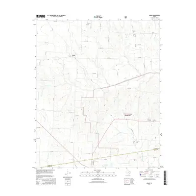
2016 Map of Gober
USGS Topo · Published 2016About this map
The rolling blackland prairies of Fannin and Hunt Counties are defined by the headwaters of the Sulphur River system. Small rural settlements like Gober and Bartley Woods serve as anchor points in an agricultural landscape dominated by creek drainages such as Allen Cr, Pot Cr, and Brushy Cr. The southern portion of the map transition into the Caddo National Grassland, where the terrain drops toward the Middle Sulphur River.
Find a feature on this map
65 named features on this map. Tap any name to fly to it.
Don’t see what you’re looking for? This feature index may not catch every label — zoom into the map to look around manually.
Map Details
Editions of this 2016 Gober Map
This is the sole edition of this map. No revisions or reprints were ever made.
Other maps of this area

1903 · Paris
USGS Topo · 1:125,000

1947 · Honey Grove
USGS Topo · 1:62,500

1949 · Honey Grove
USGS Topo · 1:62,500

1953 · Texarkana
USGS Topo · 1:250,000

1954 · Sherman
USGS Topo · 1:250,000

1956 · Texarkana
USGS Topo · 1:250,000

1958 · Bonham
USGS Topo · 1:62,500

1958 · Sherman
USGS Topo · 1:250,000

1964 · Commerce North
USGS Topo · 1:24,000

1964 · Celeste
USGS Topo · 1:24,000