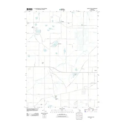
2011 Map of Gobles East
USGS Topo · Published 2011About this map
Kendall and Mentha anchor the northern landscape of this region, where the historical footprint of rural Van Buren County is preserved through its crossroads and water systems. The area is defined by a high concentration of small lakes and watercourses, including Muskrat Lake, Brandywine Lake, and the meandering North Branch Paw Paw River. This landscape supports specialized land uses, notably the Wolf Lake Fish Hatchery and the Almena Ponds State Fish Hatchery, reflecting a long-standing integration with the local hydrology.
Find a feature on this map
73 named features on this map. Tap any name to fly to it.
Don’t see what you’re looking for? This feature index may not catch every label — zoom into the map to look around manually.
Map Details
Editions of this 2011 Gobles East Map
This is the sole edition of this map. No revisions or reprints were ever made.
Other maps of this area

1916 · Kalamazoo
USGS Topo · 1:62,500

1918 · Kalamazoo
USGS Topo · 1:62,500

1922 · Schoolcraft
USGS Topo · 1:62,500

1943 · Kalamazoo
USGS Topo · 1:62,500

1943 · Schoolcraft
USGS Topo · 1:62,500

1944 · Marcellus
USGS Topo · 1:62,500

1946 · Marcellus
USGS Topo · 1:62,500

1946 · Gobles
USGS Topo · 1:62,500

1948 · Gobles
USGS Topo · 1:62,500

1949 · Gobles
USGS Topo · 1:62,500