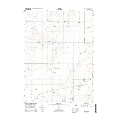
2014 Map of Gobles East
USGS Topo · Published 2014About this map
The settlement of Gobles and the surrounding township of Almena are documented in this contemporary survey, revealing a landscape defined by an intricate network of glacial kettle lakes and wetland drainages. The northern half of the quadrangle is punctuated by numerous water bodies including Muskrat Lake, Turkey Lake, and Tamarack Lake, many of which are linked by small creeks and county roads. The settlement patterns reflect a history of small agricultural hubs such as Kendall and Mentha, once critical points for local trade and transportation.
Find a feature on this map
70 named features on this map. Tap any name to fly to it.
Don’t see what you’re looking for? This feature index may not catch every label — zoom into the map to look around manually.
Map Details
Editions of this 2014 Gobles East Map
This is the sole edition of this map. No revisions or reprints were ever made.
Other maps of this area

1916 · Kalamazoo
USGS Topo · 1:62,500

1918 · Kalamazoo
USGS Topo · 1:62,500

1922 · Schoolcraft
USGS Topo · 1:62,500

1943 · Kalamazoo
USGS Topo · 1:62,500

1943 · Schoolcraft
USGS Topo · 1:62,500

1944 · Marcellus
USGS Topo · 1:62,500

1946 · Marcellus
USGS Topo · 1:62,500

1946 · Gobles
USGS Topo · 1:62,500

1948 · Gobles
USGS Topo · 1:62,500

1949 · Gobles
USGS Topo · 1:62,500