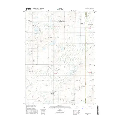
2017 Map of Gobles East
USGS Topo · Published 2017About this map
Almena and its surrounding countryside define this portion of the Van Buren and Kalamazoo county line. The landscape is deeply tied to its glacial history, evidenced by a dense cluster of water bodies including Muskrat Lake, Brandywine Lake, and the expansive Wolf Lake. Small community centers like Mentha and Kendall appear along the northern reaches, while the Kal-Haven Trail State Park follows a former railroad corridor through Pine Grove.
Find a feature on this map
108 named features on this map. Tap any name to fly to it.
Don’t see what you’re looking for? This feature index may not catch every label — zoom into the map to look around manually.
Map Details
Editions of this 2017 Gobles East Map
This is the sole edition of this map. No revisions or reprints were ever made.
Other maps of this area

1916 · Kalamazoo
USGS Topo · 1:62,500

1918 · Kalamazoo
USGS Topo · 1:62,500

1922 · Schoolcraft
USGS Topo · 1:62,500

1943 · Kalamazoo
USGS Topo · 1:62,500

1943 · Schoolcraft
USGS Topo · 1:62,500

1944 · Marcellus
USGS Topo · 1:62,500

1946 · Marcellus
USGS Topo · 1:62,500

1946 · Gobles
USGS Topo · 1:62,500

1948 · Gobles
USGS Topo · 1:62,500

1949 · Gobles
USGS Topo · 1:62,500