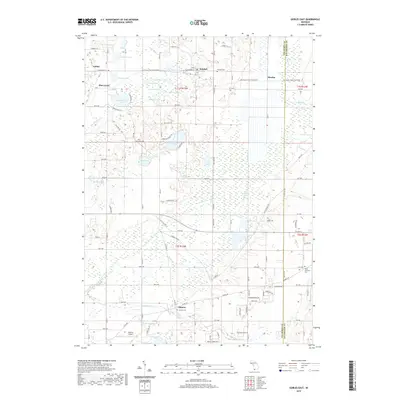
2019 Map of Gobles East
USGS Topo · Published 2019About this map
Almena Ridge rises above a dense network of lakes and marshes in this Van Buren County landscape. The settlement of Almena sits at the southern edge, supported by the nearby Almena Airport and several historic burial grounds, including the Almena Cem and West Oshtemo Cem on the Kalamazoo County line. To the north, the corridor between Gobles and Kendall is defined by a glacial lake district featuring Brandywine Lake, Turkey Lake, and Muskrat Lake.
Find a feature on this map
115 named features on this map. Tap any name to fly to it.
Don’t see what you’re looking for? This feature index may not catch every label — zoom into the map to look around manually.
Map Details
Editions of this 2019 Gobles East Map
This is the sole edition of this map. No revisions or reprints were ever made.
Other maps of this area

1916 · Kalamazoo
USGS Topo · 1:62,500

1918 · Kalamazoo
USGS Topo · 1:62,500

1922 · Schoolcraft
USGS Topo · 1:62,500

1943 · Kalamazoo
USGS Topo · 1:62,500

1943 · Schoolcraft
USGS Topo · 1:62,500

1944 · Marcellus
USGS Topo · 1:62,500

1946 · Marcellus
USGS Topo · 1:62,500

1946 · Gobles
USGS Topo · 1:62,500

1948 · Gobles
USGS Topo · 1:62,500

1949 · Gobles
USGS Topo · 1:62,500