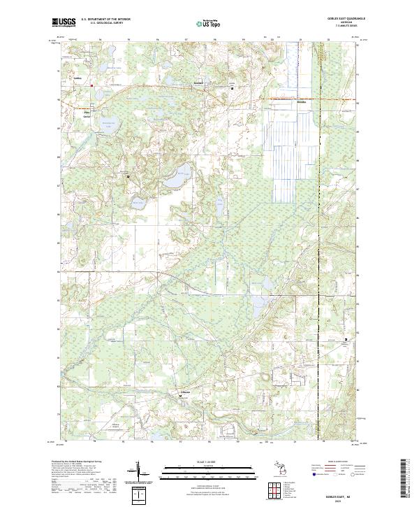
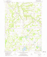
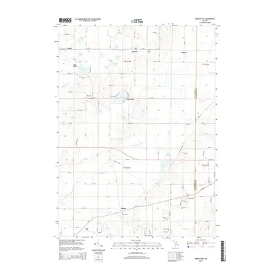
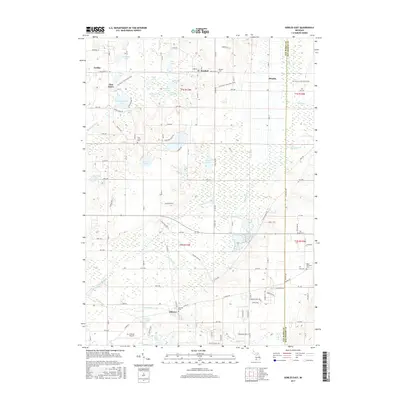
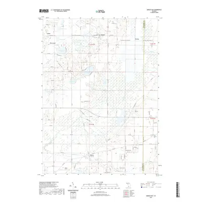
2023 Map of Gobles East
USGS Topo · Published 2023About this map
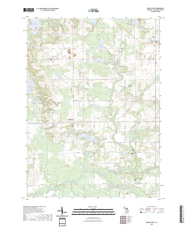
Gobles and Kendall anchor the northern reaches of this landscape in Van Buren County, where a dense network of glacial lakes and wetlands defines the terrain. The presence of the Kal-Haven Trail State Park Trl follows a historic rail corridor, passing through Mentha and Pine Grove as it connects the small communities of the region. This area shows a distinct transition from the clustered lakes in the north, such as North Lake and Brandywine Lake, to the more agricultural and drained lands of the south near Almena.
Find a feature on this map
80 named features on this map. Tap any name to fly to it.
Don’t see what you’re looking for? This feature index may not catch every label — zoom into the map to look around manually.
Map Details
Editions of this 2023 Gobles East Map
This is the sole edition of this map. No revisions or reprints were ever made.
Historical Maps of Almena Through Time
24 maps found
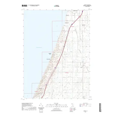
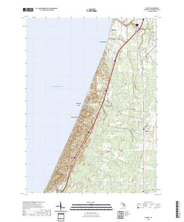
1981 Covert
Van Buren County, MI
1981 Gobles East
Van Buren County, MI
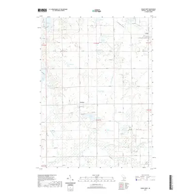
1981 Gobles West
Van Buren County, MI
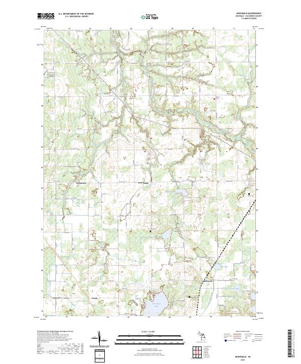
1981 McDonald
Van Buren County, MI
2011 Covert
Van Buren County, MI
2011 Gobles East
Van Buren County, MI
2011 Gobles West
Van Buren County, MI
2011 McDonald
Van Buren County, MI
2014 Covert
Van Buren County, MI
2014 Gobles East
Van Buren County, MI
2014 Gobles West
Van Buren County, MI
2014 McDonald
Van Buren County, MI
2017 Covert
Van Buren County, MI
2017 Gobles East
Van Buren County, MI
2017 Gobles West
Van Buren County, MI
2017 McDonald
Van Buren County, MI
2019 Covert
Van Buren County, MI
2019 Gobles East
Van Buren County, MI
2019 Gobles West
Van Buren County, MI
2019 McDonald
Van Buren County, MI
2023 Covert
Van Buren County, MI
2023 Gobles East
Van Buren County, MI
2023 Gobles West
Van Buren County, MI
2023 McDonald
Van Buren County, MI
Featured Locations
- Alamo Township, MI
- Gobles, MI
- Pine Grove Township, MI
- Almena, Almena Township
- Pine Grove, Pine Grove Township