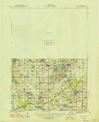
1946 Map of Gobles
USGS Topo · Published 1948About this map
The settlement of Gobles serves as a central hub in this postwar Michigan landscape, where the New York Central railroad corridor connects local agriculture to wider markets. The map captures a detailed rural infrastructure defined by a high density of one-room schoolhouses, such as Evergreen Sch and Speicher Sch, which anchored these townships before widespread consolidation. Further south, the Wolf Lake Fish Hatchery stands out as a significant conservation landmark near the border of Van Buren Co and Kalamazoo Co.
Find a feature on this map
78 named features on this map. Tap any name to fly to it.
Don’t see what you’re looking for? This feature index may not catch every label — zoom into the map to look around manually.
Map Details
Editions of this 1946 Gobles Map
This is the sole edition of this map. No revisions or reprints were ever made.
Other maps of this area
1916 · Kalamazoo
USGS Topo · 1:62,500
1918 · Kalamazoo
USGS Topo · 1:62,500
1922 · Schoolcraft
USGS Topo · 1:62,500
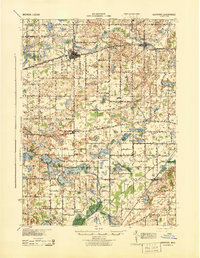
1927 · Hartford
USGS Topo · 1:62,500
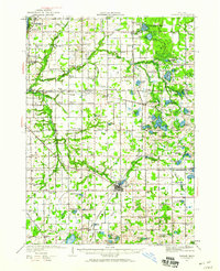
1927 · Bangor
USGS Topo · 1:62,500
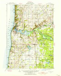
1928 · Fennville
USGS Topo · 1:62,500
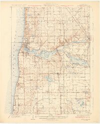
1931 · Fennville
USGS Topo · 1:62,500
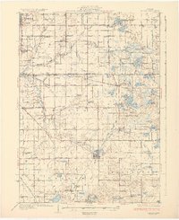
1931 · Bangor
USGS Topo · 1:62,500
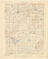
1931 · Hartford
USGS Topo · 1:62,500
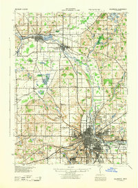
1943 · Kalamazoo
USGS Topo · 1:62,500