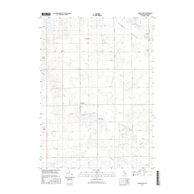
2017 Map of Gobles West
USGS Topo · Published 2017About this map
Gobles sits at the northeastern corner of this western Michigan landscape, where the historic rail corridor has been repurposed into the Kal-Haven Trail State Park. The terrain is defined by a dense concentration of glacial kettle lakes and wetlands, ranging from the large Great Bear Lake in the northwest to the smaller School Section Lake and Round Lake further south. These water bodies, along with numerous drains like Butterfield Drain and Rich-Dillon Drain, feed into the S Br Paw Paw River as it winds through the southern reaches of the quadrangle.
Find a feature on this map
58 named features on this map. Tap any name to fly to it.
Don’t see what you’re looking for? This feature index may not catch every label — zoom into the map to look around manually.
Map Details
Editions of this 2017 Gobles West Map
This is the sole edition of this map. No revisions or reprints were ever made.
Other maps of this area

1927 · Hartford
USGS Topo · 1:62,500

1927 · Bangor
USGS Topo · 1:62,500

1931 · Bangor
USGS Topo · 1:62,500

1931 · Hartford
USGS Topo · 1:62,500

1943 · Bangor
USGS Topo · 1:62,500

1944 · Marcellus
USGS Topo · 1:62,500

1946 · Marcellus
USGS Topo · 1:62,500

1946 · Gobles
USGS Topo · 1:62,500

1948 · Gobles
USGS Topo · 1:62,500

1949 · Gobles
USGS Topo · 1:62,500