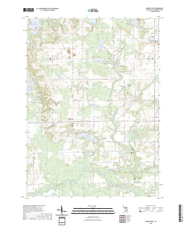
2023 Map of Gobles West
USGS Topo · Published 2023About this map
The Paw Paw River system, including its north and south branches, anchors this landscape in eastern Van Buren County. Large tracts of land managed by the Farm Service Agency Interest of Michigan occupy much of the central terrain, interspersed with a high density of glacial lakes such as Great Bear Lake, Martin Lake, and School Section Lake. The small settlement of Glendale sits at a rural crossroads, while the western edge of Gobles appears on the eastern margin, reflecting the agricultural and water-centric character of the region.
Find a feature on this map
44 named features on this map. Tap any name to fly to it.
Don’t see what you’re looking for? This feature index may not catch every label — zoom into the map to look around manually.
Map Details
Editions of this 2023 Gobles West Map
This is the sole edition of this map. No revisions or reprints were ever made.
Other maps of this area

1927 · Hartford
USGS Topo · 1:62,500

1927 · Bangor
USGS Topo · 1:62,500

1931 · Bangor
USGS Topo · 1:62,500

1931 · Hartford
USGS Topo · 1:62,500

1943 · Bangor
USGS Topo · 1:62,500

1944 · Marcellus
USGS Topo · 1:62,500

1946 · Marcellus
USGS Topo · 1:62,500

1946 · Gobles
USGS Topo · 1:62,500

1948 · Gobles
USGS Topo · 1:62,500

1949 · Gobles
USGS Topo · 1:62,500