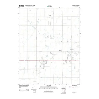
1965 Map of Goddard
USGS Topo · Published 1976About this map
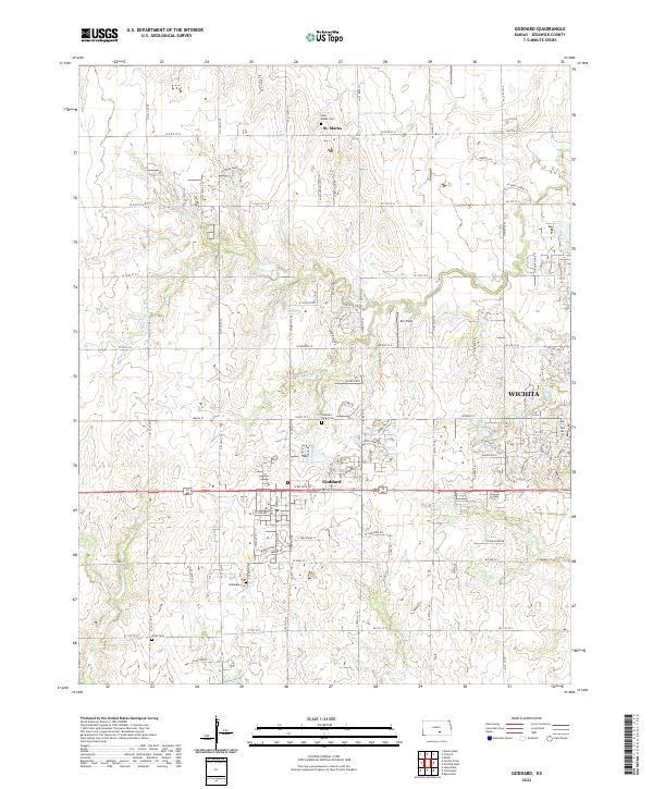
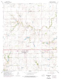
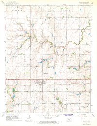
Goddard and St Marks anchor this mid-century landscape in Sedgwick County, where the agricultural grid meets the expansion of western Wichita. The Atchison Topeka and Santa Fe railroad cuts a straight east-west line through the southern half of the quadrangle, serving as a primary corridor for the local grain economy. This 1965 survey, with purple-ink revisions from 1975, tracks the emergence of modern infrastructure alongside established landmarks like Pleasant Ridge Cem and Afton Cem. In the southwest corner, the development of Lake Afton County Park and the nearby Afton Creek show a shift toward recreational land use. The presence of multiple trailer parks near the rail line and the sewage disposal site near Dry Creek reflect the suburban transition of the era.
Find a feature on this map
20 named features on this map. Tap any name to fly to it.
Don’t see what you’re looking for? This feature index may not catch every label — zoom into the map to look around manually.
Map Details
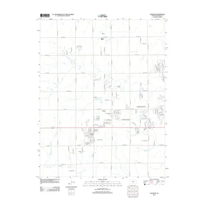
Editions of this 1965 Goddard Map
2 editions found
Historical Maps of Wichita Through Time
6 maps found