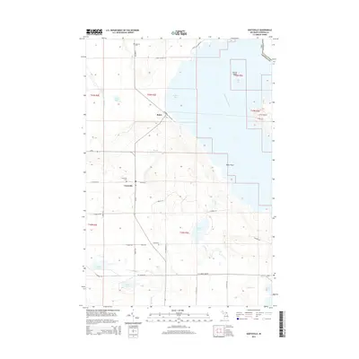
2014 Map of Goetzville
USGS Topo · Published 2014About this map
Goetzville and the coastal settlement of Raber anchor this inland and maritime landscape near the international border along the Saint Marys River. The area is characterized by its numerous small water bodies, including Carlton Lake, Ziegler Lake, and Bender Lake, which are connected by a network of drainage ways like Caribou Cr and Albany Cr. The topography transitions from the low-lying shoreline of Raber Bay to the rising terrain further inland, where a grid of rural roads and section lines defines the local geography.
Find a feature on this map
48 named features on this map. Tap any name to fly to it.
Don’t see what you’re looking for? This feature index may not catch every label — zoom into the map to look around manually.
Map Details
Editions of this 2014 Goetzville Map
This is the sole edition of this map. No revisions or reprints were ever made.
Other maps of this area

1953 · Munuscong
USGS Topo · 1:24,000

1953 · Munuscong NE
USGS Topo · 1:24,000

1954 · Alpena
USGS Topo · 1:250,000

1954 · Sault Sainte Marie
USGS Topo · 1:250,000

1955 · Cheboygan
USGS Topo · 1:250,000

1956 · Sault Sainte Marie
USGS Topo · 1:250,000

1957 · Alpena
USGS Topo · 1:250,000

1957 · Sault Sainte Marie
USGS Topo · 1:250,000

1958 · Cheboygan
USGS Topo · 1:250,000

1958 · Alpena
USGS Topo · 1:250,000