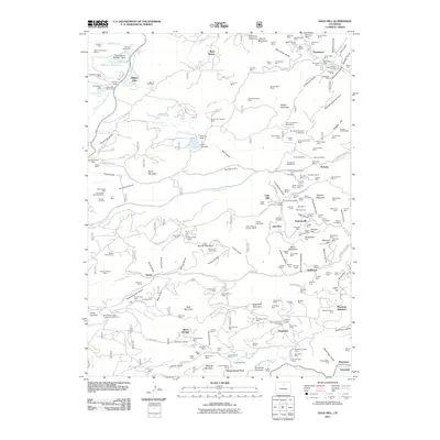
2011 Map of Gold Hill
USGS Topo · Published 2011About this map
Jamestown and Gold Hill anchor this 2011 survey of the Colorado Front Range, revealing a landscape defined by its mining heritage and rugged drainage networks. The map details an incredibly dense concentration of early 20th-century claims and workings, such as the Wolf Tongue Mine, Pennsylvania Mine, and Fair Day Mine, interspersed among the steep drainages of Lick Skillet Gulch and Moorhead Gulch. These features highlight the complex extraction economy that once dominated the area between North Boulder Creek and James Creek.
Find a feature on this map
235 named features on this map. Tap any name to fly to it.
Don’t see what you’re looking for? This feature index may not catch every label — zoom into the map to look around manually.
Map Details
Editions of this 2011 Gold Hill Map
This is the sole edition of this map. No revisions or reprints were ever made.
Other maps of this area

1899 · West Denver
USGS Topo · 1:125,000

1902 · Boulder
USGS Topo · 1:62,500

1904 · Boulder
USGS Topo · 1:62,500

1905 · Central City
USGS Topo · 1:62,500

1906 · Blackhawk
USGS Topo · 1:62,500

1910 · Central City
USGS Topo · 1:62,500

1912 · Central City
USGS Topo · 1:62,500

1915 · Longs Peak
USGS Topo · 1:125,000

1919 · Rocky Mountain National Park
USGS Topo · 1:125,000

1942 · Eldorado Springs
USGS Topo · 1:24,000