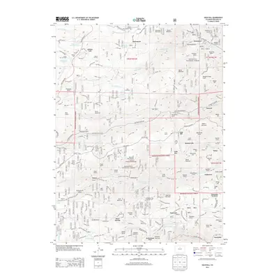
2013 Map of Gold Hill
USGS Topo · Published 2013About this map
The steep gulches and high ridges of the Roosevelt National Forest define this area of Boulder County, where mining history is etched into the landscape. Small, high-altitude settlements like Gold Hill, Salina, and Wallstreet are connected by a network of winding roads, including the Switzerland Trl and Lefthand Canyon Drive. The map documents a blend of early industrial footprints and modern recreational use, showing the locations of the Gold Hill Cem and Salina Cem alongside seasonal destinations like the Tahosa Boy Scout Camp and Ogallalia Lodge.
Find a feature on this map
108 named features on this map. Tap any name to fly to it.
Don’t see what you’re looking for? This feature index may not catch every label — zoom into the map to look around manually.
Map Details
Editions of this 2013 Gold Hill Map
This is the sole edition of this map. No revisions or reprints were ever made.
Other maps of this area

1899 · West Denver
USGS Topo · 1:125,000

1902 · Boulder
USGS Topo · 1:62,500

1904 · Boulder
USGS Topo · 1:62,500

1905 · Central City
USGS Topo · 1:62,500

1906 · Blackhawk
USGS Topo · 1:62,500

1910 · Central City
USGS Topo · 1:62,500

1912 · Central City
USGS Topo · 1:62,500

1915 · Longs Peak
USGS Topo · 1:125,000

1919 · Rocky Mountain National Park
USGS Topo · 1:125,000

1942 · Eldorado Springs
USGS Topo · 1:24,000