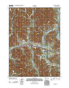
2011 Map of Gold Hill
USGS Topo · Published 2011About this map
The Rogue River dominates this portion of Jackson County, flowing past the city of Gold Hill and the settlement of Dardanelles. This corridor is a focal point for early infrastructure and community history, evidenced by the Gold Hill Irrigation District Canal and the presence of the Gold Hill Post Office. For those researching local families, the map identifies three distinct burial grounds: Rock Point Cemetery, Gold Hill IOOF Cemetery, and Hays-Gall Cemetery.
Find a feature on this map
67 named features on this map. Tap any name to fly to it.
Don’t see what you’re looking for? This feature index may not catch every label — zoom into the map to look around manually.
Map Details
Editions of this 2011 Gold Hill Map
This is the sole edition of this map. No revisions or reprints were ever made.
Other maps of this area

1891 · Ashland
USGS Topo · 1:250,000

1893 · Ashland
USGS Topo · 1:250,000

1897 · Ashland
USGS Topo · 1:250,000

1904 · Riddle
USGS Topo · 1:125,000

1908 · Grants Pass
USGS Topo · 1:125,000

1938 · Medford
USGS Topo · 1:125,000

1943 · Trail
USGS Topo · 1:62,500

1954 · Medford
USGS Topo · 1:62,500

1954 · Gold Hill
USGS Topo · 1:62,500

1954 · Wimer
USGS Topo · 1:62,500