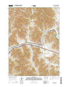
2014 Map of Gold Hill
USGS Topo · Published 2014About this map
The Rogue River carves through this Southern Oregon landscape, defining the development of Gold Hill and the nearby settlement of Dardanelles. This 2014 survey illustrates the complex water management system of the region, anchored by the Gold Hill Irrigation District Canal and numerous upland catchments like Wiwona Reservoir and Granger Reservoir. Genealogists will find significant value in the documentation of several local burial sites, including the Gold Hill IOOF Cem, Rock Point Cem, and the family-associated Hays Cem. The terrain is characterized by numerous named drainages and peaks, from Lyman Mtn in the north to Pikes Peak in the south. The map provides a contemporary view of the Sams Valley area, showing how modern transit corridors like Or-234 and the Sams Valley Hwy overlay the older gold-country geography.
Find a feature on this map
83 named features on this map. Tap any name to fly to it.
Don’t see what you’re looking for? This feature index may not catch every label — zoom into the map to look around manually.
Map Details
Editions of this 2014 Gold Hill Map
This is the sole edition of this map. No revisions or reprints were ever made.
Other maps of this area
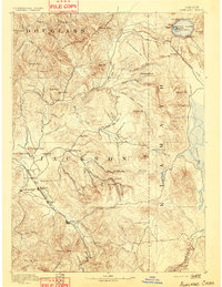
1891 · Ashland
USGS Topo · 1:250,000
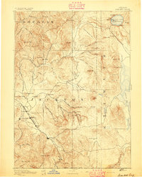
1893 · Ashland
USGS Topo · 1:250,000
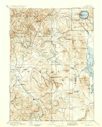
1897 · Ashland
USGS Topo · 1:250,000
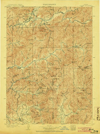
1904 · Riddle
USGS Topo · 1:125,000
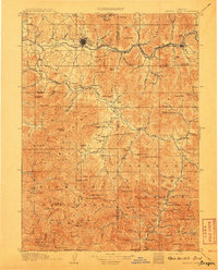
1908 · Grants Pass
USGS Topo · 1:125,000
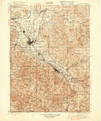
1938 · Medford
USGS Topo · 1:125,000
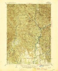
1943 · Trail
USGS Topo · 1:62,500
1954 · Medford
USGS Topo · 1:62,500
1954 · Gold Hill
USGS Topo · 1:62,500
1954 · Wimer
USGS Topo · 1:62,500