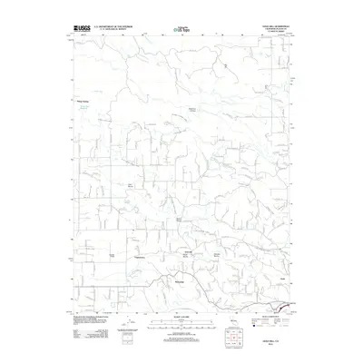
2012 Map of Gold Hill
USGS Topo · Published 2012About this map
Virginiatown and the surrounding foothill settlements of Gold Hill and Ophir are defined by an intricate network of early water management systems in this Placer County survey. The landscape is carved by numerous ravines, including Sailors Ravine, Dutch Ravine, and Georges Ravine, which served as the geography for an extensive canal infrastructure. These waterways, such as the Whisky Diggins Canal, Lincoln Canal, and Gold Blossom Canal, illustrate the enduring legacy of hydraulic engineering required for the region's historical mining and agricultural operations. North of Newcastle, the terrain rises toward Big Hill and the rugged Deadman Canyon, while the western portion of the map shows the Valley View Reservoir and the springs at Kilaga Springs. This document captures the complex intersection of residential growth and the essential water routes that continue to shape the community's layout and land use.
Find a feature on this map
170 named features on this map. Tap any name to fly to it.
Don’t see what you’re looking for? This feature index may not catch every label — zoom into the map to look around manually.
Map Details
Editions of this 2012 Gold Hill Map
This is the sole edition of this map. No revisions or reprints were ever made.
Other maps of this area

1888 · Smartsville
USGS Topo · 1:125,000

1891 · Sacramento
USGS Topo · 1:125,000

1891 · Smartsville
USGS Topo · 1:125,000

1892 · Sacramento
USGS Topo · 1:125,000

1892 · Smartsville
USGS Topo · 1:125,000

1893 · Sacramento
USGS Topo · 1:125,000

1894 · Smartsville
USGS Topo · 1:125,000

1895 · Smartsville
USGS Topo · 1:125,000

1910 · Lincoln
USGS Topo · 1:31,680

1910 · Roseville
USGS Topo · 1:31,680