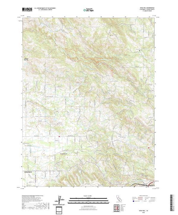
2022 Map of Gold Hill
USGS Topo · Published 2022About this map
Virginiatown sits as a central historical marker in this portion of the Sacramento Valley, where the transition from the valley floor to the Sierra Nevada foothills is defined by a complex network of water management. The landscape is etched with irrigation and mining-era infrastructure, including the Whisky Diggins Canal, Dudley Canal, and the Lincoln Canal. These waterways, along with the Valley View Canal, reflect the long-standing necessity of water diversion for both agriculture and early hydraulic operations in Placer County.
Find a feature on this map
178 named features on this map. Tap any name to fly to it.
Don’t see what you’re looking for? This feature index may not catch every label — zoom into the map to look around manually.
Map Details
Editions of this 2022 Gold Hill Map
This is the sole edition of this map. No revisions or reprints were ever made.
Other maps of this area

1888 · Smartsville
USGS Topo · 1:125,000

1891 · Sacramento
USGS Topo · 1:125,000

1891 · Smartsville
USGS Topo · 1:125,000

1892 · Sacramento
USGS Topo · 1:125,000

1892 · Smartsville
USGS Topo · 1:125,000

1893 · Sacramento
USGS Topo · 1:125,000

1894 · Smartsville
USGS Topo · 1:125,000

1895 · Smartsville
USGS Topo · 1:125,000

1910 · Lincoln
USGS Topo · 1:31,680

1910 · Roseville
USGS Topo · 1:31,680