
1925 Map of Gold Hill
USGS Topo · Published 1955About this map
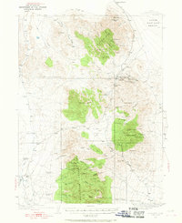
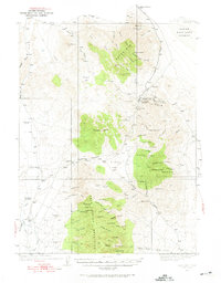
Gold Hill emerges as a focal point of activity in the high desert of Tooele County, serving as a gateway between the Dutch Mountain range and the edge of the Great Salt Lake Desert. The mining economy of the mid-1920s is clearly etched into the terrain, with operations like the Gold Hill Mine, Alvarado Mine, and the Silver Hill Mine scattered across the mineral-rich slopes. Further south, the settlement of Clifton sits on the Clifton Flat, marking a transition toward the formidable Deep Creek Mountains.
Find a feature on this map
91 named features on this map. Tap any name to fly to it.
Don’t see what you’re looking for? This feature index may not catch every label — zoom into the map to look around manually.
Map Details
Editions of this 1925 Gold Hill Map
3 editions found
Other maps of this area

1908 · Fish Springs
USGS Topo · 1:250,000

1910 · Fish Springs
USGS Topo · 1:250,000

1928 · Gold Hill
USGS Topo · 1:62,500

1953 · Tooele
USGS Topo · 1:250,000

1953 · Delta
USGS Topo · 1:250,000

1955 · Tooele
USGS Topo · 1:250,000

1955 · Elko
USGS Topo · 1:250,000

1956 · Ely
USGS Topo · 1:250,000

1958 · Elko
USGS Topo · 1:250,000

1958 · Delta
USGS Topo · 1:250,000