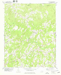
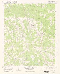
1978 Map of Gold Sand
USGS Topo · Published 1979About this map
Gold Sand and its surrounding rural landscapes are captured here at the end of the 1970s, documenting a region defined by scattered farming communities and small crossroads. The boundary between Warren and Franklin County follows the winding path of Shocco Creek and Little Shocco Creek in the north, while the southern terrain is drained by the branches of Sandy Creek. This area is rich in community landmarks that serve as vital links for genealogists and local historians, including the Mountain Grove Ch near Alert and the Jones Chapel Ch situated between the primary settlements. The map illustrates a social fabric anchored by small rural institutions like the Gold Sand Sch and Best Sch, alongside several smaller churches such as Hickory Grove Ch and Mt Zion Ch that have long served these North Carolina townships.
Find a feature on this map
27 named features on this map. Tap any name to fly to it.
Don’t see what you’re looking for? This feature index may not catch every label — zoom into the map to look around manually.
Map Details
Editions of this 1978 Gold Sand Map
2 editions found
Other maps of this area

1953 · Greensboro
USGS Topo · 1:250,000

1954 · Greensboro
USGS Topo · 1:250,000

1962 · Greensboro
USGS Topo · 1:250,000

1966 · Greensboro
USGS Topo · 1:250,000

1970 · Vicksboro
USGS Topo · 1:24,000

1971 · Inez
USGS Topo · 1:24,000

1971 · Afton
USGS Topo · 1:24,000
1978 · Louisburg
USGS Topo · 1:24,000
1978 · Centerville
USGS Topo · 1:24,000
1979 · Castalia
USGS Topo · 1:24,000