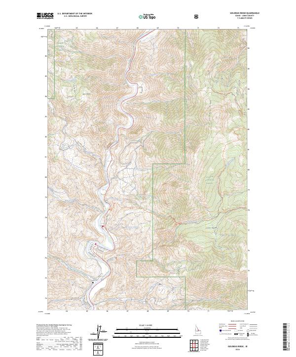
2024 Map of Goldbug Ridge
USGS Topo · Published 2024About this map
The Salmon River cuts a deep path through the mountainous terrain of the Salmon National Forest, dividing the land into high ridges and timbered slopes. Along the river’s western bend, the landscape climbs toward the prominent Twin Peaks, while to the east, the Goldbug Ridge and the foothills of the Lemhi Range define the horizon. Small, named watercourses such as Dummy Creek and Brinkey Creek drain the high country, suggesting a landscape of seasonal runoffs and perennial springs.
Find a feature on this map
46 named features on this map. Tap any name to fly to it.
Don’t see what you’re looking for? This feature index may not catch every label — zoom into the map to look around manually.
Map Details
Editions of this 2024 Goldbug Ridge Map
This is the sole edition of this map. No revisions or reprints were ever made.
Other maps of this area

1950 · Salmon
USGS Topo · 1:62,500

1950 · Leesburg
USGS Topo · 1:62,500

1951 · Leesburg
USGS Topo · 1:62,500

1951 · Salmon
USGS Topo · 1:62,500

1955 · Dubois
USGS Topo · 1:250,000

1955 · Dillon
USGS Topo · 1:250,000

1956 · Elk City
USGS Topo · 1:250,000

1957 · Dillon
USGS Topo · 1:250,000

1957 · Challis
USGS Topo · 1:250,000

1958 · Dubois
USGS Topo · 1:250,000