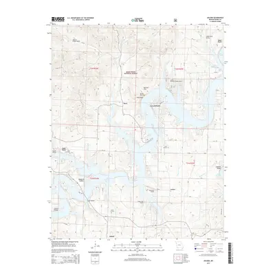
2015 Map of Golden
USGS Topo · Published 2015About this map
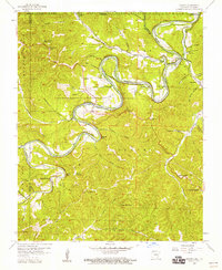
Table Rock Lake dominates this portion of the Ozark plateau, its irregular shoreline reaching deep into the hollows of the Mark Twain National Forest. The map documents a recreational and rural landscape where small settlements like Emerald Beach and Golden are interspersed with family landmarks and regional aviation sites, including the Table Rock Airport. Local heritage is anchored by sites such as Easley Cemetery and Roach Cemetery, which predate the modern development of the lakefront communities. The terrain is defined by dramatic limestone features like Natural Bridge Hollow and the prominent Turkey Mountain, where Steep Bluff rises above the water. A network of Forest Service roads, including FR 2225 and FR 1190, provides access to these wooded ridges, while newer developments like Turkey Mountain Estates Airport signal the area's mid-century transition into a resort and vacation destination.
Find a feature on this map
52 named features on this map. Tap any name to fly to it.
Don’t see what you’re looking for? This feature index may not catch every label — zoom into the map to look around manually.
Map Details
Editions of this 2015 Golden Map
This is the sole edition of this map. No revisions or reprints were ever made.
Other maps of this area
1900 · Eureka Springs
USGS Topo · 1:125,000
1901 · Eureka Springs
USGS Topo · 1:125,000
1927 · Shell Knob
USGS Topo · 1:62,500
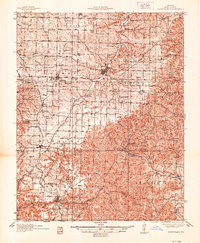
1937 · Cassville
USGS Topo · 1:48,000
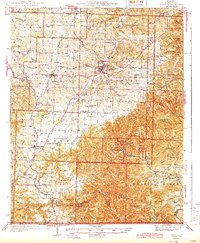
1944 · Cassville
USGS Topo · 1:62,500

1945 · Harrison
USGS Topo · 1:250,000

1949 · Harrison
USGS Topo · 1:250,000
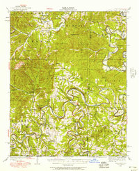
1950 · Shell Knob
USGS Topo · 1:62,500
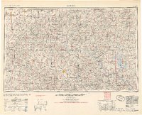
1954 · Harrison
USGS Topo · 1:250,000
1957 · Beaver
USGS Topo · 1:24,000