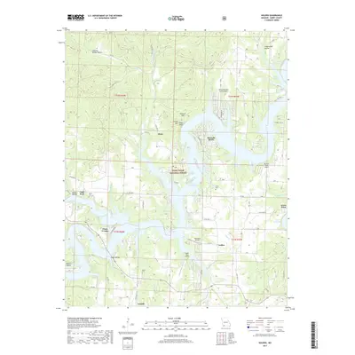
2017 Map of Golden
USGS Topo · Published 2017About this map
Table Rock Lake dominates this landscape, its irregular shoreline reaching deep into the drainage basins of Viney Cr and Darity Br. Small communities and lakeside developments like Emerald Beach and Chain-O-Lakes illustrate the mid-century transformation of this region into a recreation-centered economy. The presence of several small airstrips, including Eagles Nest Airport and Bel-Voir Acres Airport, suggests the importance of private aviation for accessing these lakeside enclaves.
Find a feature on this map
56 named features on this map. Tap any name to fly to it.
Don’t see what you’re looking for? This feature index may not catch every label — zoom into the map to look around manually.
Map Details
Editions of this 2017 Golden Map
This is the sole edition of this map. No revisions or reprints were ever made.
Other maps of this area
1900 · Eureka Springs
USGS Topo · 1:125,000
1901 · Eureka Springs
USGS Topo · 1:125,000
1927 · Shell Knob
USGS Topo · 1:62,500
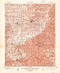
1937 · Cassville
USGS Topo · 1:48,000
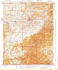
1944 · Cassville
USGS Topo · 1:62,500

1945 · Harrison
USGS Topo · 1:250,000

1949 · Harrison
USGS Topo · 1:250,000
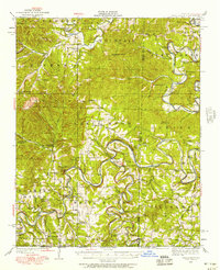
1950 · Shell Knob
USGS Topo · 1:62,500
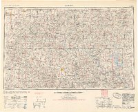
1954 · Harrison
USGS Topo · 1:250,000
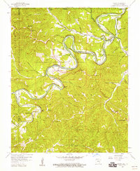
1957 · Beaver
USGS Topo · 1:24,000