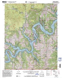
1999 Map of Golden
USGS Topo · Published 2002About this map
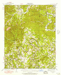
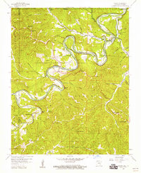
Table Rock Lake dominates this landscape along the Barry and Carroll County line, where the White River valley has been transformed into a complex network of flooded coves and points. Within the Mark Twain National Forest, the map reveals a transition from traditional Ozark upland settlements like Golden and Mano to more modern developments such as Turkey Mountain Estates. The terrain is characterized by steep ridges and hollows, including Turkey Mountain and Moccasin Gap, punctuated by several airstrips like Table Rock Air Park that reflect the area's twentieth-century growth as a recreation destination.
Find a feature on this map
43 named features on this map. Tap any name to fly to it.
Don’t see what you’re looking for? This feature index may not catch every label — zoom into the map to look around manually.
Map Details
Editions of this 1999 Golden Map
This is the sole edition of this map. No revisions or reprints were ever made.
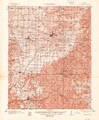
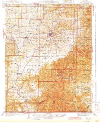
Other maps of this area

1900 · Eureka Springs
USGS Topo · 1:125,000

1901 · Eureka Springs
USGS Topo · 1:125,000
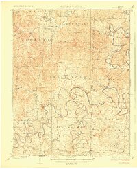
1927 · Shell Knob
USGS Topo · 1:62,500
1937 · Cassville
USGS Topo · 1:48,000
1944 · Cassville
USGS Topo · 1:62,500

1945 · Harrison
USGS Topo · 1:250,000

1949 · Harrison
USGS Topo · 1:250,000
1950 · Shell Knob
USGS Topo · 1:62,500

1954 · Harrison
USGS Topo · 1:250,000
1957 · Beaver
USGS Topo · 1:24,000