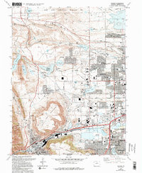
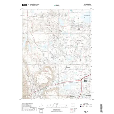
1957 Map of Golden
USGS Topo · Published 1961About this map
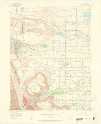
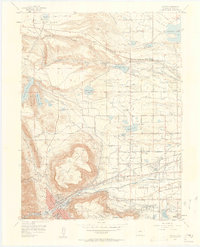
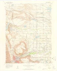
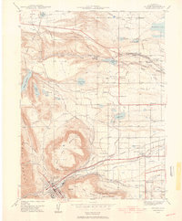
North Table Mountain and South Table Mountain dominate the terrain of this mid-century Colorado landscape, flanking the historic settlement of Golden. The map reveals a complex infrastructure of water management and transportation essential to the region's growth, featuring the D & R G W RR and Colorado and Southern railroad lines. Educational and military institutions are prominent, including the Colorado School of Mines and the Camp George West National Guard facility. Along the creeks and gulches, the map identifies local landmarks such as Mount Olivet Cemetery and several rural schoolhouses like Fremont Sch and Fairmount Sch. The presence of Leyden and Leyden Junction to the north illustrates the early residential and industrial nodes that began to fill the space between the table mountains and the northern flats.
Find a feature on this map
49 named features on this map. Tap any name to fly to it.
Don’t see what you’re looking for? This feature index may not catch every label — zoom into the map to look around manually.
Map Details
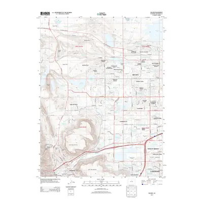
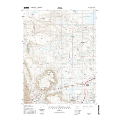
Editions of this 1957 Golden Map
3 editions found
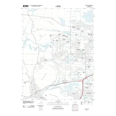
Historical Maps of Lakewood Through Time
10 maps found
1939 Golden
Jefferson County, CO

1942 Golden
Jefferson County, CO

1944 Golden
Jefferson County, CO
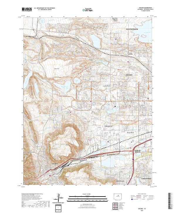
1957 Golden
Jefferson County, CO
1965 Golden
Jefferson County, CO
2010 Golden
Jefferson County, CO
2013 Golden
Jefferson County, CO
2016 Golden
Jefferson County, CO
2019 Golden
Jefferson County, CO
2022 Golden
Jefferson County, CO