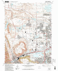
1965 Map of Golden
USGS Topo · Published 1994About this map
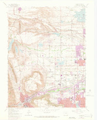
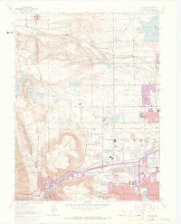
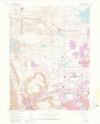
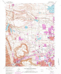
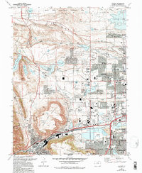
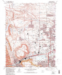
North Table Mountain and South Table Mountain dominate the central landscape of this mid-century survey, standing as prominent volcanic plateaus overlooking the expanding urban corridors. Along the southern edge, the city of Golden serves as a gateway to the foothills, while the suburban growth of Arvada and Wheat Ridge pushes westward toward the dramatic topography of the Front Range. The map captures a transitional moment for the region, documenting the presence of the Rocky Flats Environmental Technology Site in the north and the Solar Energy Research Institute to the south.
Find a feature on this map
74 named features on this map. Tap any name to fly to it.
Don’t see what you’re looking for? This feature index may not catch every label — zoom into the map to look around manually.
Map Details
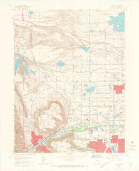
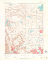
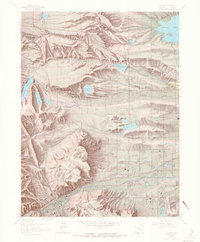
Editions of this 1965 Golden Map
10 editions found
Other maps of this area

1899 · West Denver
USGS Topo · 1:125,000

1906 · Blackhawk
USGS Topo · 1:62,500

1938 · Morrison
USGS Topo · 1:24,000

1939 · Golden
USGS Topo · 1:24,000

1940 · Lafayette
USGS Topo · 1:31,680

1941 · Arvada
USGS Topo · 1:31,680

1941 · Fort Logan
USGS Topo · 1:31,680

1942 · Eldorado Springs
USGS Topo · 1:24,000

1942 · Morrison
USGS Topo · 1:31,680

1942 · Golden
USGS Topo · 1:31,680