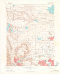
1965 Map of Golden
USGS Topo · Published 1967About this map
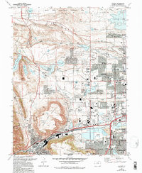
North Table Mountain and South Table Mountain dominate the central landscape of this mid-1960s survey, illustrating the volcanic geology that shapes the western edge of the Denver basin. Along the southern corridor, the Colorado School of Mines and the Camp George West (National Guard) facilities anchor the foothills, while the irrigation infrastructure of the Farmers Highline Canal and Agricultural Ditch crisscrosses the plains to the east. The map captures a period of suburban expansion as Arvada reaches toward the hills, balanced against the industrial activity of numerous Gravel Pits and the Denver and Rio Grande Western rail lines. Notable landmarks for genealogical research include the expansive Mount Olivet Cemetery and the smaller Ralston Cem, along with local institutions like the College of the Rockies and Ralston Ch.
Find a feature on this map
61 named features on this map. Tap any name to fly to it.
Don’t see what you’re looking for? This feature index may not catch every label — zoom into the map to look around manually.
Map Details
Editions of this 1965 Golden Map
10 editions found
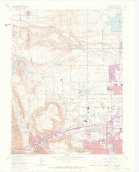
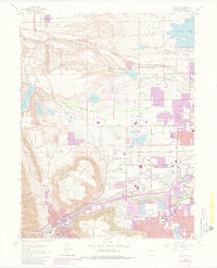
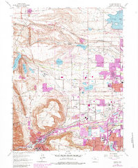
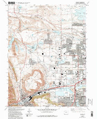
Other maps of this area

1899 · West Denver
USGS Topo · 1:125,000

1906 · Blackhawk
USGS Topo · 1:62,500

1938 · Morrison
USGS Topo · 1:24,000

1939 · Golden
USGS Topo · 1:24,000

1940 · Lafayette
USGS Topo · 1:31,680

1941 · Arvada
USGS Topo · 1:31,680

1941 · Fort Logan
USGS Topo · 1:31,680

1942 · Eldorado Springs
USGS Topo · 1:24,000

1942 · Morrison
USGS Topo · 1:31,680

1942 · Golden
USGS Topo · 1:31,680