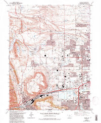
1965 Map of Golden
USGS Topo · Published 1994About this map
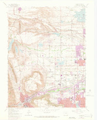
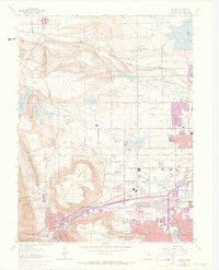
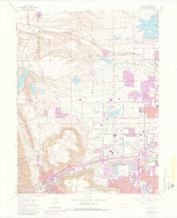
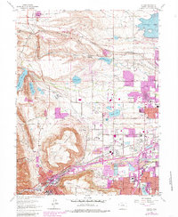
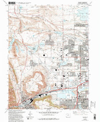
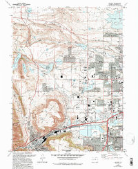
The massive volcanic plateau of North Table Mountain and South Table Mountain dominates the landscape of this Front Range survey, marking the transition from the plains to the foothills. The mid-century expansion of Arvada and Wheat Ridge is documented here through dense residential platting and a network of schools such as Stott Sch and Fremont Sch. To the north, the Rocky Flats Environmental Technology Site occupies the higher ground of Rocky Flats, a significant industrial and technological footprint on the edge of the developing suburbs. Water management is a primary theme of the era, visible in the substantial Arvada Reservoir and Standley Lake, alongside the specialized Filtration Plant and Sewage Disposal Wks necessary for the growing population. Long-standing local landmarks like the Mount Olivet Cemetery and the Ralston Cem provide historical anchoring points amidst the rapid suburbanization of the late 20th century.
Find a feature on this map
69 named features on this map. Tap any name to fly to it.
Don’t see what you’re looking for? This feature index may not catch every label — zoom into the map to look around manually.
Map Details
Editions of this 1965 Golden Map
10 editions found
Other maps of this area

1899 · West Denver
USGS Topo · 1:125,000

1906 · Blackhawk
USGS Topo · 1:62,500

1938 · Morrison
USGS Topo · 1:24,000

1939 · Golden
USGS Topo · 1:24,000

1940 · Lafayette
USGS Topo · 1:31,680

1941 · Arvada
USGS Topo · 1:31,680

1941 · Fort Logan
USGS Topo · 1:31,680

1942 · Eldorado Springs
USGS Topo · 1:24,000

1942 · Morrison
USGS Topo · 1:31,680

1942 · Golden
USGS Topo · 1:31,680