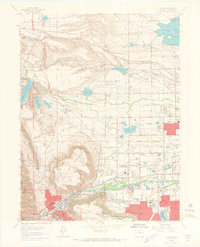
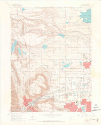
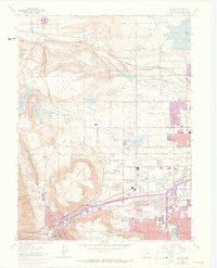
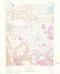
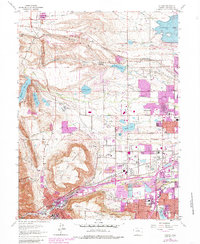
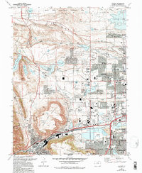
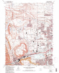
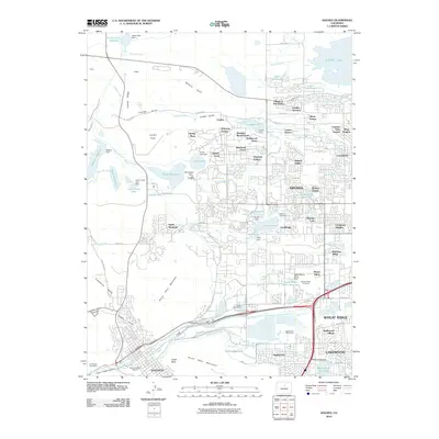
1965 Map of Golden
USGS Topo · Published 1967About this map
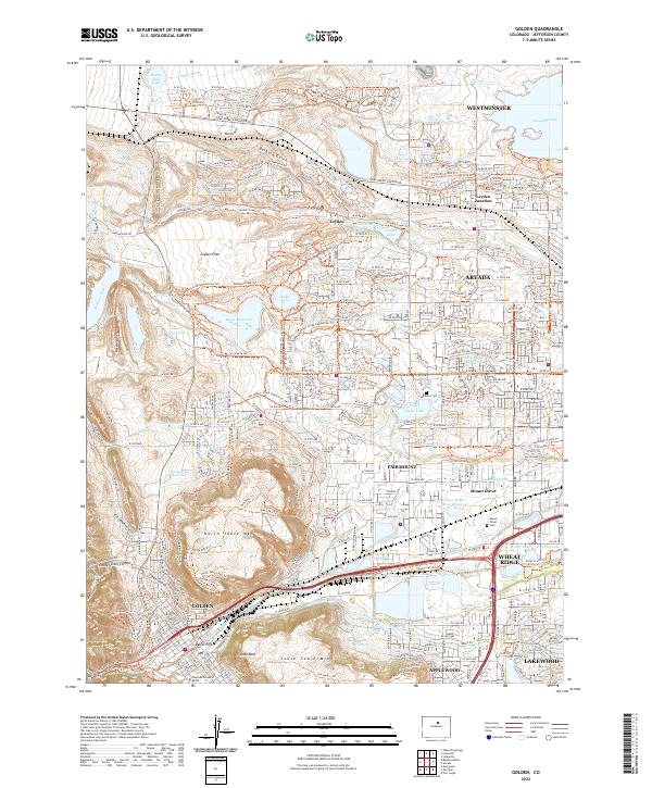
Golden and Arvada are captured during a mid-1960s period of suburban expansion, where new residential streets begin to press against the dramatic plateaus of North Table Mountain and South Table Mountain. The map detail traces the legacy of the region's industrial and academic roots, from the campus of the Colorado School of Mines to the network of Gravel Pits and claypits that dot the landscape.
Find a feature on this map
46 named features on this map. Tap any name to fly to it.
Don’t see what you’re looking for? This feature index may not catch every label — zoom into the map to look around manually.
Map Details
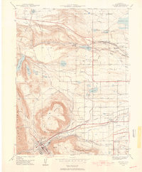
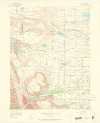
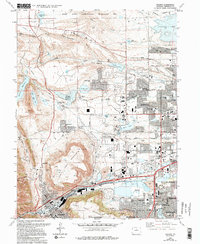
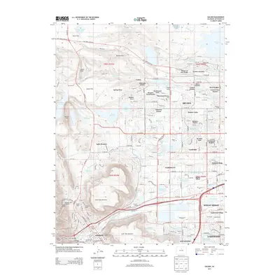
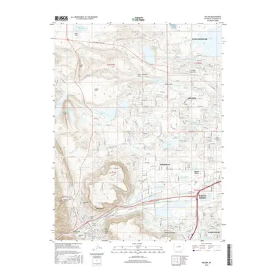
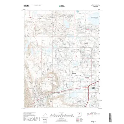
Editions of this 1965 Golden Map
10 editions found
Historical Maps of Lakewood Through Time
10 maps found
1939 Golden
Jefferson County, CO

1942 Golden
Jefferson County, CO

1944 Golden
Jefferson County, CO
1957 Golden
Jefferson County, CO
1965 Golden
Jefferson County, CO
2010 Golden
Jefferson County, CO
2013 Golden
Jefferson County, CO
2016 Golden
Jefferson County, CO
2019 Golden
Jefferson County, CO
2022 Golden
Jefferson County, CO