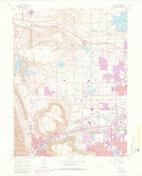
1965 Map of Golden
USGS Topo · Published 1980About this map
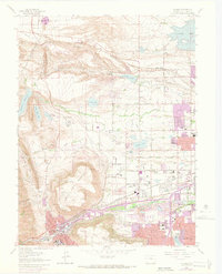
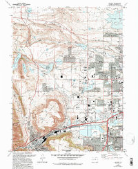
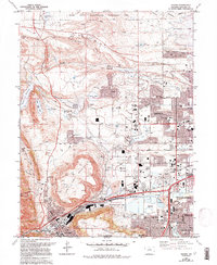
North Table Mountain and South Table Mountain dominate this landscape, their flat-topped mesas rising above the western edge of the Denver basin. During the mid-1960s, the surrounding communities of Golden, Arvada, and Wheat Ridge were experiencing significant postwar residential growth, though large-scale industrial features like the Arvada Filtration Plant and various clay and gravel pits remained prominent. The map details an intricate water management system essential to the high plains, including the South Boulder Canal, Farmers Highline Canal, and the Wannamaker Ditch.
Find a feature on this map
61 named features on this map. Tap any name to fly to it.
Don’t see what you’re looking for? This feature index may not catch every label — zoom into the map to look around manually.
Map Details
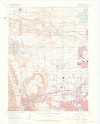
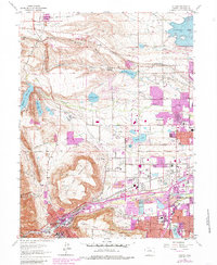
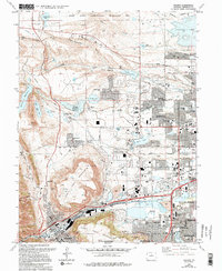
Editions of this 1965 Golden Map
10 editions found
Other maps of this area

1899 · West Denver
USGS Topo · 1:125,000

1906 · Blackhawk
USGS Topo · 1:62,500

1938 · Morrison
USGS Topo · 1:24,000

1939 · Golden
USGS Topo · 1:24,000

1940 · Lafayette
USGS Topo · 1:31,680

1941 · Arvada
USGS Topo · 1:31,680

1941 · Fort Logan
USGS Topo · 1:31,680

1942 · Eldorado Springs
USGS Topo · 1:24,000

1942 · Morrison
USGS Topo · 1:31,680

1942 · Golden
USGS Topo · 1:31,680