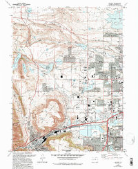
1965 Map of Golden
USGS Topo · Published 1994About this map
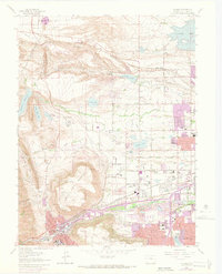
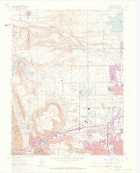
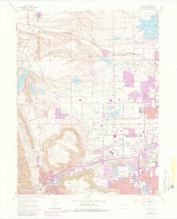
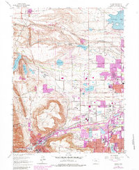
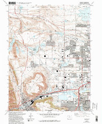
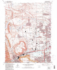
The dramatic basalt caprocks of North Table Mountain and South Table Mountain dominate this western edge of the Denver metropolitan area. These massive landforms overlook the historic town of Golden, where the campus of the Colorado School of Mines is situated along the banks of Clear Creek. The transition from industrial extraction to high-technology research is evident across the landscape, with numerous claypits and gravel pits operating near modern facilities like the Environmental Technology Site on Rocky Flats and the Solar Energy Research Institute.
Find a feature on this map
78 named features on this map. Tap any name to fly to it.
Don’t see what you’re looking for? This feature index may not catch every label — zoom into the map to look around manually.
Map Details
Editions of this 1965 Golden Map
10 editions found
Other maps of this area

1899 · West Denver
USGS Topo · 1:125,000

1906 · Blackhawk
USGS Topo · 1:62,500

1938 · Morrison
USGS Topo · 1:24,000

1939 · Golden
USGS Topo · 1:24,000

1940 · Lafayette
USGS Topo · 1:31,680

1941 · Arvada
USGS Topo · 1:31,680

1941 · Fort Logan
USGS Topo · 1:31,680

1942 · Eldorado Springs
USGS Topo · 1:24,000

1942 · Morrison
USGS Topo · 1:31,680

1942 · Golden
USGS Topo · 1:31,680