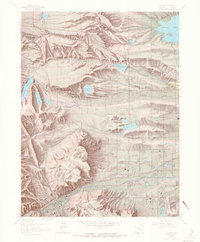
1965 Map of Golden
USGS Topo · Published 1968About this map
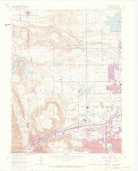
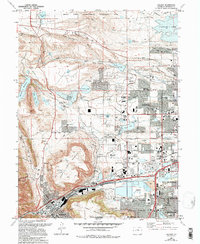
Golden serves as the focal point of this mid-1960s study, where the transition from industrial mining to suburban residential expansion is clearly visible. The landscape is dominated by the massive flat-topped silhouettes of North Table Mountain and South Table Mountain, which loom over the emerging subdivisions of Arvada to the east. Along the Denver and Rio Grande Western rail line, older industrial sites like the Claypit near Leyden sit adjacent to water infrastructure like the North Table Mtn Filtration Plant. A concentration of civic and social history is evident at Mount Olivet Cemetery and the sprawling military grounds of Camp George West (National Guard). The survey records a network of irrigation ditches and reservoirs, including Standley Lake, that supported the region's agricultural past as it was being repurposed for a growing metropolitan population.
Find a feature on this map
57 named features on this map. Tap any name to fly to it.
Don’t see what you’re looking for? This feature index may not catch every label — zoom into the map to look around manually.
Map Details
Editions of this 1965 Golden Map
10 editions found
Other maps of this area

1899 · West Denver
USGS Topo · 1:125,000

1906 · Blackhawk
USGS Topo · 1:62,500

1938 · Morrison
USGS Topo · 1:24,000

1939 · Golden
USGS Topo · 1:24,000

1940 · Lafayette
USGS Topo · 1:31,680

1941 · Arvada
USGS Topo · 1:31,680

1941 · Fort Logan
USGS Topo · 1:31,680

1942 · Eldorado Springs
USGS Topo · 1:24,000

1942 · Morrison
USGS Topo · 1:31,680

1942 · Golden
USGS Topo · 1:31,680