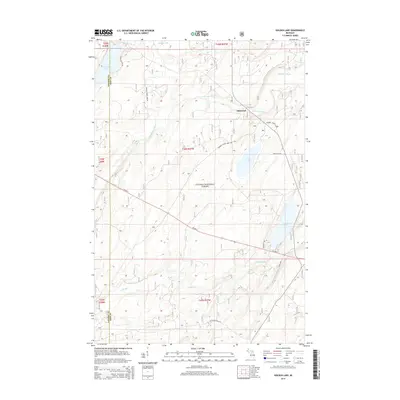
2014 Map of Golden Lake
USGS Topo · Published 2014About this map
Ottawa National Forest encompasses much of this landscape in Iron County, where the dense timberlands are carved by several significant waterways. The S Br Paint River winds across the northern half of the quadrangle, passing near the small settlement of Elmwood. Further south, the terrain is defined by glacial features including Golden Lake and James Lake, which are linked by a network of logging and forest service routes like Federal Forest 3920 Rd and James Lake Rd. The map illustrates the dominance of US Hwy 2 as the primary east-west artery, crossing over Cooks Run as it traverses the forested interior. This 2014 survey documents the modern management of these public lands, noting the boundary with Gogebic County to the west and the persistence of isolated outposts within the forest.
Find a feature on this map
23 named features on this map. Tap any name to fly to it.
Don’t see what you’re looking for? This feature index may not catch every label — zoom into the map to look around manually.
Map Details
Editions of this 2014 Golden Lake Map
This is the sole edition of this map. No revisions or reprints were ever made.
Other maps of this area

1938 · Phelps
USGS Topo · 1:48,000

1950 · Phelps
USGS Topo · 1:48,000

1952 · Watersmeet
USGS Topo · 1:62,500

1954 · Kenton
USGS Topo · 1:62,500

1956 · Beechwood
USGS Topo · 1:62,500

1956 · Phelps
USGS Topo · 1:62,500

1958 · Iron River
USGS Topo · 1:250,000

1960 · Iron River
USGS Topo · 1:250,000

1961 · Iron River
USGS Topo · 1:250,000

1967 · Iron River
USGS Topo · 1:250,000